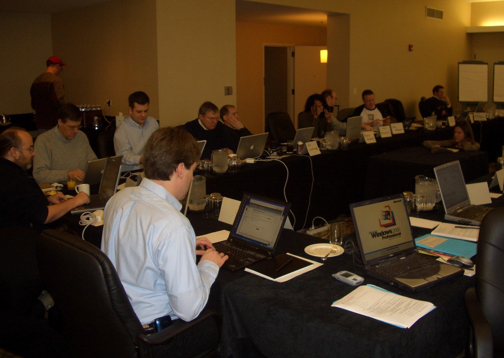
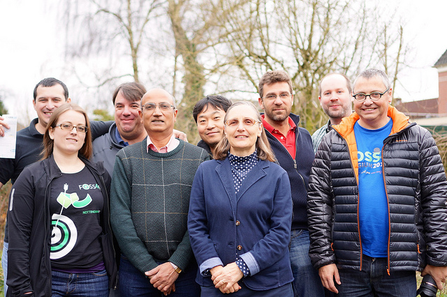
4th of February is a great day for all of us as it was the day when our Foundation was founded. 2016 is more special as we have completed 10 Years. No matter what yardstick one uses, it would be hard to deny that we have made great progress and our achievements have even exceeded our own expectations. Our projects have grown more stable and robust, our events have spread worldwide, our vibrant community continues to grow, our education outreach is blooming through the collective effervescence of the ‘GeoForAll’ initiative and we are in possession of many more pieces of the jigsaw to help accomplish our vision to “empower everyone with open source geospatial”.

We would not have been able to get here without the tremendous support from our community and goodwill of our sponsors. Officers of our Foundation have also toiled hard to get us to this stage. By the time we are into FOSS4G-2018, we will be in our teens. So let us now enjoy our childhood and celebrate the wonders that we have achieved in being born, being able to walk on our own feet, and ready to take long strides into the future with a sure feeling that we can do even better in the years to come.
Happy birthday to OSGeo Foundation and let the celebrations begin!!
The Board of Directors
OSGeo Foundation
A New Vision for OSGeo
To guide OSGeo for the next ten years the board has prepared something special – a new vision statement, mission and goals.
OSGeo Vision
Empower everyone with open source geospatial
OSGeo Mission Statement
Foster global adoption of open geospatial technology by being an inclusive software foundation devoted to an open philosophy and participatory community driven development.
OSGeo Goals
The following aspirational goals support the overall mission. As a foundation we seek to:
- provide resources for foundation projects;
- foster the use of open source geospatial software;
- encourage interoperability with open and community standards;
- ensure interoperability between the foundation projects;
- encourage a high degree of quality and innovation in foundation projects;
- champion the use of open-source and community participation through the development of an open education curriculum
- enable communication and cooperation amongst OSGeo communities;
- champion community building through horizontal (local chapters) engagement and through vertical (sector specific) agreements with like-minded organizations;
- be a welcoming and inclusive worldwide organization at all levels;
- celebrate excellence, openness and service within the OSGeo community.
About the Open Source Geospatial Foundation
The Open Source Geospatial Foundation (OSGeo) is a not-for-profit organization whose mission is to foster global adoption of open geospatial technology by being an inclusive software foundation devoted to an open philosophy and participatory community driven development. The foundation provides financial, organizational and legal support to the broader open source geospatial community. It provides an independent legal entity to which community members can contribute code, funding and other resources, secure in the knowledge that their contributions will be maintained for public benefit.
OSGeo also serves as an outreach and advocacy organization for the open source geospatial community, and provides a common forum and shared infrastructure for improving cross-project collaboration. The Foundation’s projects are all freely available and useable under an OSI-certified open source license.