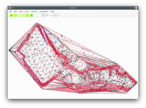
Bezitopo is a project to create a CAD program designed for land surveying. Unlike general-purpose CAD programs with surveying programs built on top, it has the horizontal Euler spiral with a polynomial vertical curve as a native object. It can read coordinate files (PNEZD) and breaklines, construct a TIN, and draw contours.
Core features
-
Horizontal and vertical curves
- Horizontal and vertical curves are native. This includes vertical curves up to the third degree and horizontal circular and spiral arcs. A vertical curve can be bent in a cylinder over a horizontal curve.
-
Consistent units
- All measurements (except bearings/azimuths and deltas) are stored in coherent SI units regardless of the display units. To switch units, just click a button.
-
No crossing contours
- Surfaces are made of curved triangles. Contours cannot spuriously cross as a result of smoothing.
- When triangles are flat (e.g. the TIN is read from a PerfectTIN file), contours are smoothed referring to the surface with greater tolerance. They still can't cross. (In development.)
-
Geoid file conversion and excerpting (convertgeoid)
- Reads and writes US NGS, US NGA, Carlson GSF, and Boldatni (Bezitopo's own format).
- Writes an excerpt of a geoid file just big enough to contain, for example, all points within 150 km of Asheville.
- Resamples a geoid file so that, for instance, the Alaska file is every 1 minute in latitude and every 2 minutes in longitude.
-
Approximation to spirals
- Computes smooth piecewise circular approximations to spirals
- Can be used to offset the alignment of a highway to provide boundary lines
Implemented Standards
- Keyhole Markup Language (KML)

